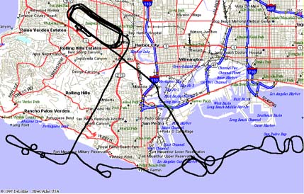
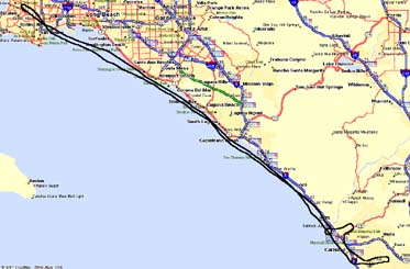
 This is a XC flight to Oxnard airport. (about 55 miles)Wind
aloft=300/17
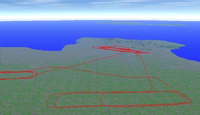
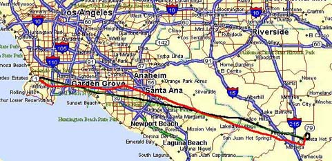
The black line is a rout to Oxnard and the green one is a rout come back to Torrance.
In either case, we have to cross LAX B class airspace.
In the black rout , we used Special VFR rout known as "Corridor". In the green
rout, we used shoreline rout 0.5 miles away from the beach.
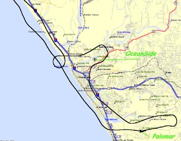
We have just followed the 101 freeway and get to the Oxnard.
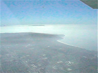
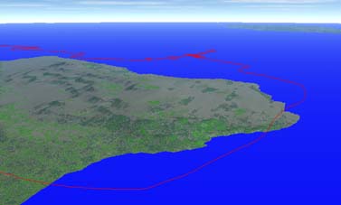
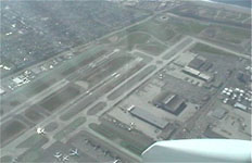
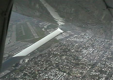
The view from 3500 feets above the LAX was unforgettable...
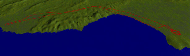
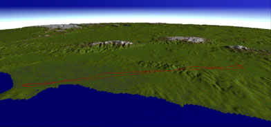
We used mountain top as a visual reference point.
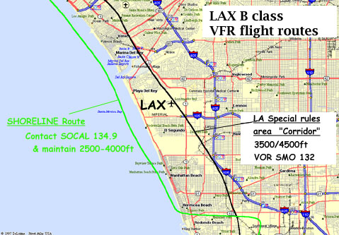 ... ...
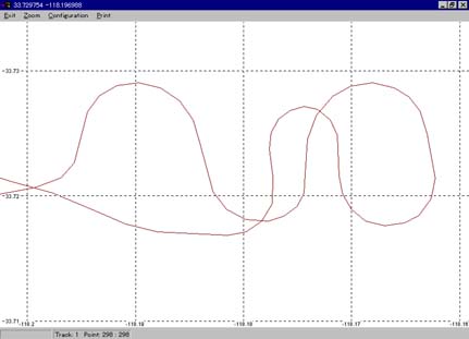
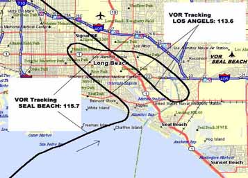
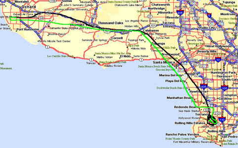
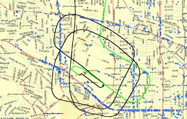
LThis is magnified view around LAX(Los Angels International Airport - second or third
busiest airspace in the world!)
We do not have to contact with ATC of the LAX but we have to contact with SOCAL
approach control in the shoreline rout.
Big airliners are moving under us...
 ... ...
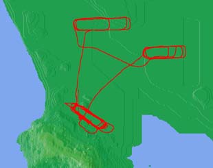
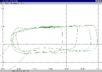
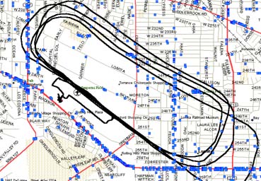
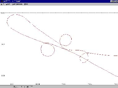
We have to climb up to 4500 feet before entering the corridor.
So we use box shaped climb method...it takes about 11 minutes!
|