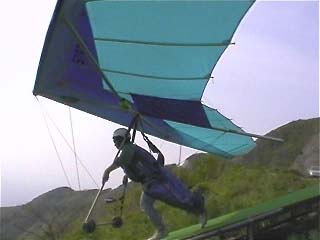
 Take off |
|
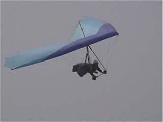 Approaching for landing |
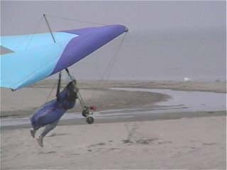 Just touch down. using flare(aerodynamic brake) |
pictures were taken by me,
using JVC `pocket` digital video cam which is mounted to control bar of the hang glider.
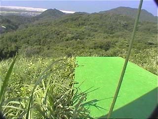
Yahiko national park is located on east Japan.
Take off |
|
Approaching for landing |
Just touch down. using flare(aerodynamic brake) |
Å@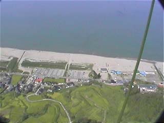
you can see a beach line of Yahiko.
Å@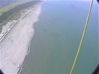
Flying over the sea is very nice!
However, we sometimes lost altitude sense over the sea.
Å@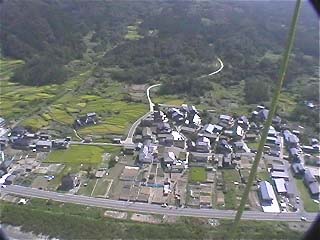
The altitude is now 600 feet away from the ground.
So I have to prepare for the landing.
Å@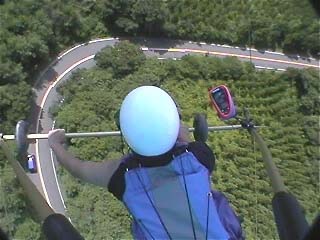
Flying over the hills of Yahiko.
You can see that I am controlling the glider using triangular control bar.
Pink edged thing is flight instruments which contains speed meter, altitude meter and VSI.
The VSI is most important instrument for the glider.
Å@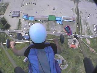
The altitude is now 1000 feet , speed is about 20mile/h.
Top speed of my hang glider is 40mph to 45mph, competition glider can accelerate beyond
60-70mph!
Å@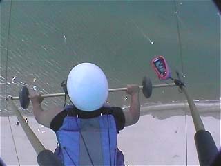
You can see wind-surfing below.
Black thing just left side of the helmet is a wireless communicator.
beside of it, We always equip emergency parachute under the bless.